Severe Weather Is Headed for Shreveport Bossier
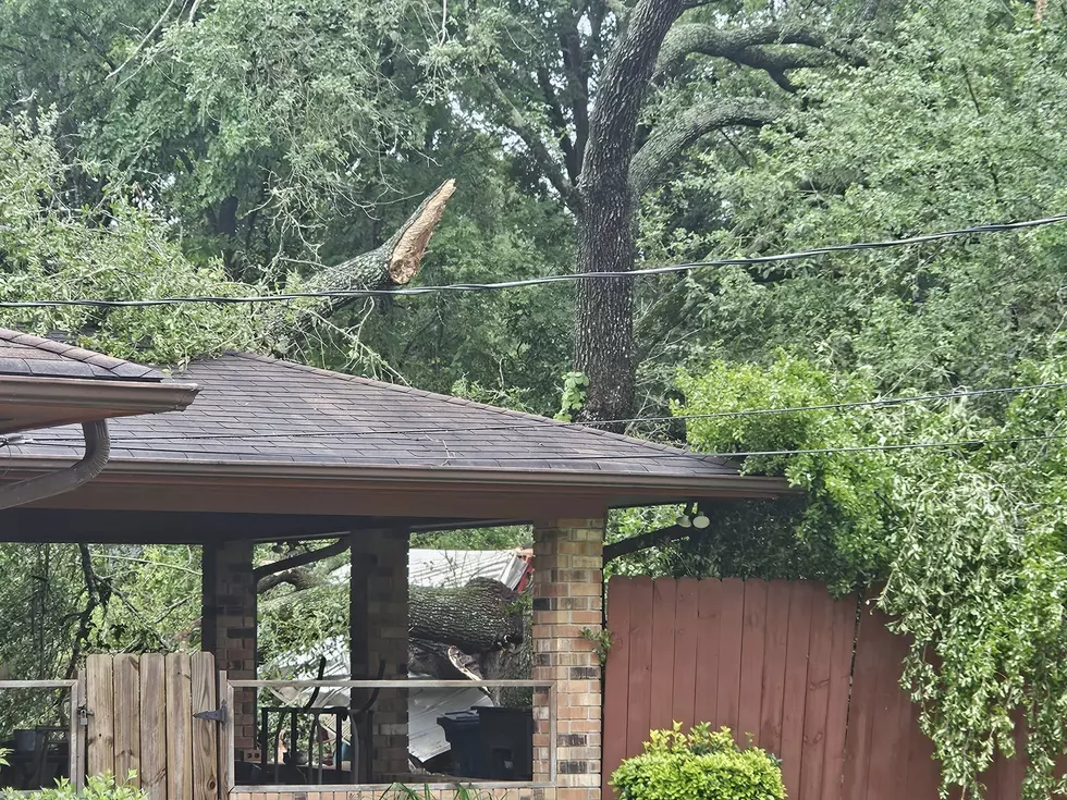
SHREVEPORT (KEEL News) --- Shreveport Bossier residents need to brace for some strong storms moving into the area today. The National Weather Service has issued a Severe Thunderstorm Watch until 10am Tuesday morning and that watch could be extended as the storms roll through.
This thunderstorm watch includes Bossier, Caddo and Webster Parishes.
Click here to see the weather radar in motion.
There is a 50% chance of storms across Shreveport and Bossier throughout the morning.
This storm system is moving throughout the southeast from Atlanta all across the Gul Coast region.
This storm system will also impact the Dallas-Fort Worth metroplex throughout the day.'
This watch includes several Counties across north central and northeast Texas and southwest Arkansas.
What Does the National Weather Service Say About this Storm System?
The potential for strong to severe thunderstorms will persist
through the middle of this week as the frontal boundary is expected
to remain nearly stationary and linger across the region. In
addition, small disturbances in the upper-level northwest flow
pattern will combine with the front to further enhance thunderstorm
chances. As a result, damaging wind gusts and large hail will remain
possible each day. An isolated tornado also cannot be ruled out on
Tuesday through Tuesday night. By late week, the chance of
thunderstorms will decrease while temperatures increase into the mid
and upper 90s to near 100 degrees with heat advisory conditions
possible.
Amazing and Intriguing Weather Folklore
More From News Radio 710 KEEL