![Snow is Gone, and Major Ice is On the Way [VIDEO]](http://townsquare.media/site/180/files/2021/02/snow-roads.jpg?w=980&q=75)
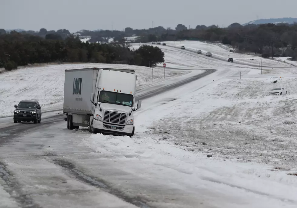
Snow is Gone, and Major Ice is On the Way [VIDEO]
Weather Channel Meteorologist Richard Lewelling talks about the damage done by the just-ended storm and what we can expect by the second wave of winter coming soon.
And Lewelling says, it looks like the first wave is done. "I think we're good for now," he says, referring to the Monday morning onslaught. "(But) there's going to be some big numbers in Arkansas. We're already looking at numbers approaching nine inches in parts of southern Arkansas.
"We may catch a little bit of a break here. We may even see a little sunshine before the day is out and then the cold comes in tonight...lows tonight in the single numbers, probably about eight degrees."
And Lewelling emphasizes that Wednesday's second storm could be even more damaging. "It looks like we get a 40 hour break from the snow until the ice comes in tomorrow night, about 10 o'clock tomorrow night. The temperatures are going to come up through the night tomorrow night, but only up through the twenties.
"So, any precipitation we get will probably be on the side of freezing rain. And looking at our computer models...it's showing one inch of ice for Shreveport, which is a crippling ice storm for the region."
Aerial Photos of Thursday's Fort Worth Multi-Vehicle Mishap
More From News Radio 710 KEEL


![How to Avoid Post-Winter Storm Scammers [VIDEO]](http://townsquare.media/site/180/files/2021/03/home-repair-1.jpg?w=980&q=75)


![LeVette Fuller: Without Preparation ‘We’re All Going to Hell’ [VIDEO]](http://townsquare.media/site/180/files/2021/02/water-3.jpg?w=980&q=75)


