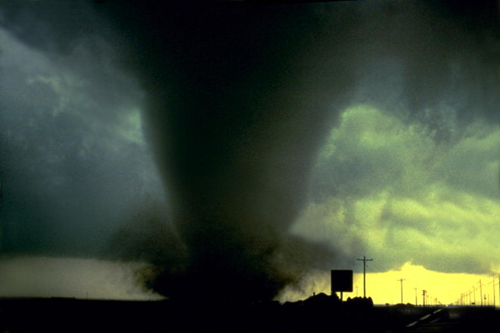
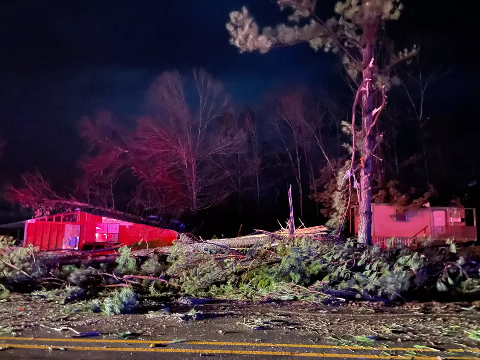
Tornado Threat for ArkLaTex Saturday [VIDEO]
Weather Channel meteorologist Richard Llewelling talks with 101.7 / 710 KEEL's Robert J Wright and Erin McCarty about the threat of extreme weather Saturday afternoon, including a 7 on the TorCon (Tornado Condition) scale.
Llewelling tells KEEL listeners that the chance for severe weather will begin Saturday about noon and last into early evening. The front will create conditions that could cause sever thunderstorms over much of our region.Those storms will likely begin during the morning, but the greatest risk will be from early to late afternoon or early evening. Multiple storms with the possibility of tornadic activity, damaging winds, large hail and heavy rain will exist, plus there will be a chance of isolated flash flooding in low lying areas.
Llewelling also warns of "long track" tornadoes, i.e., that could stay on the ground for a significant stretch of time. The Weather Channel meteorologist says that some tornadoes of this type, though unusual, can have a path of up to 25 miles or more.
For more information on the approaching storm, including the latest forecast, radar, etc., JUST CLICK HERE!
More From News Radio 710 KEEL


