![Marco Weakens, Laura Could Grow Before Louisiana Hit [VIDEO]](https://townsquare.media/site/180/files/2020/08/hurricane-1.jpg?w=980&q=75)
Marco Weakens, Laura Could Grow Before Louisiana Hit [VIDEO]
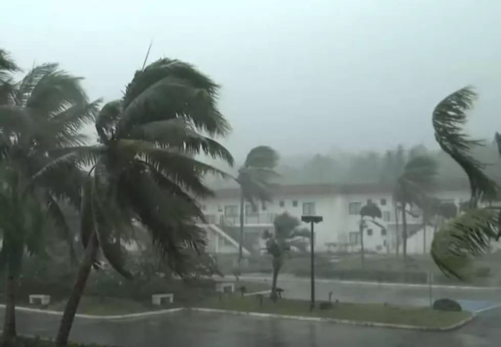
Weather Channel Meteorologist Richard Lewelling talks about the seriousness and potential damage from storms Marco and Laura, expected to hit the Louisiana coast later this week.
"We were looking at both of these systems coming in a twenty four hour period," Lewelling says, "But now that we've seen Marco come up faster (than expected), it's not going to be this record setting event we'd been looking at. It's still going to cause some problems, but Marco has continually been downgraded. It's been ripped apart by the sheer winds and it's down to fifty miles an hour. The hurricane warnings that had been up across south Louisiana have...been discontinued."
Meanwhile, here's the official word from the Weather Channel:
"Tropical Storm Marco continues to weaken as it moves closer to Louisiana’s coast. Its maximum sustained winds have fallen to 50 miles per hour. Meanwhile, Tropical Storm Laura is near Cuba with maximum sustained winds at 65 miles per hour and is expected to intensify as the week goes along."
But as Marco weakens and becomes less of the threat to the state, Lewelling says that Laura will grow as the storm heads northwest from the Caribbean into the Gulf of Mexico.
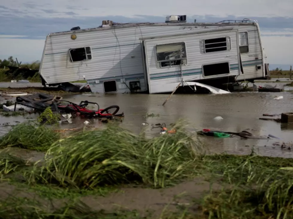
"The more pressing issue is...Laura as it pulls away from Cuba later today and gets into the Gulf of Mexico tomorrow," he says, explaining that no other system exists to keep it from gaining strength. "This is going to be a major hurricane as it pushes into southwest Louisiana and southeast Texas late tomorrow night and into the day on Wednesday."
Lewelling adds that Laura will reach the Ark-La-Tex Wednesday afternoon and the Shreveport, Bossier area will feel the effects of the storm Wednesday night and during the day Thursday.
TIPS: Here's how you can prepare for power outages
More From News Radio 710 KEEL