Heavy Rain, Hail and Possible Tornadoes in Shreveport Area Tonight
Though we are still a couple of weeks from Easter when our area traditionally sees some of the most devastating weather, Mother Nature has served notice that she's still in charge of Spring here in the South.

To prove the point, according to the National Weather Service in Shreveport, much of Northwest Louisiana, East Texas and Southwest Arkansas could be in for some really rough weather late tonight and early tomorrow morning.
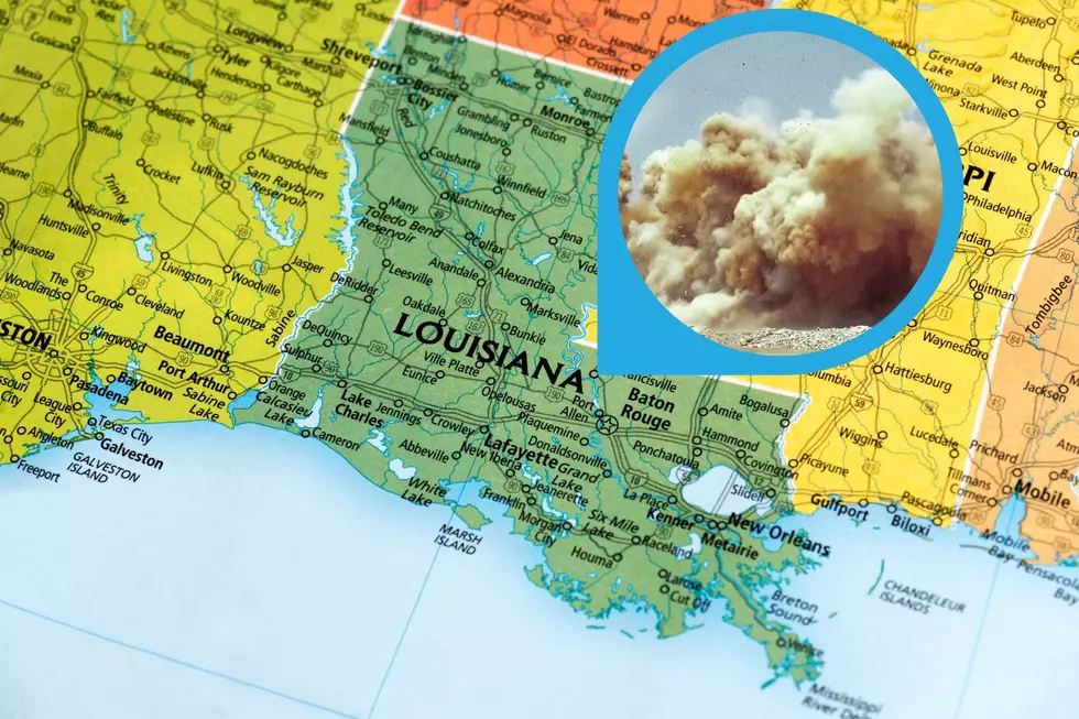
As you can tell from the illustration above, our area could possibly see isolated tornadoes, damaging winds up to seventy miles per hour, quarter sized hail and a slight risk of heavy rain and possible flooding.
The lion-share of storm activity, which will be moving from west to east, is expected to occur between the hours of 12:00 am and 3:00 am here in the immediate Arklatex and due to the potential for heavy rains, NOAA, the National Oceanic and Atmospheric Administration, has alerted much of the area to a slight risk of flash flooding from tonight at 7:00 pm through tomorrow at 7:00 am
The National Weather Service, as illustrated below, is expecting the greatest amounts of rain to fall in the area from Mount Pleasant and Clarksville, Texas to between Texarkana and Hope, Arkansas. Still yet, here in the Shreveport and Bossier area, and eastward to Homer and as far south as Natchitoches, we could see from one to one a half inches of rain.
Damaging winds are the primary threat of tonight's weather activity, however we should still be prepared for the possibility of flash floods.
Of course we will keep you updated on all any potential hazards and possible damage so keep an eye here on our website for any additional information.
Caddo Correctional Bookings for 4/1/22-4/4/22
Largest Shreveport City Salaries After 2022 Pay Raises
More From News Radio 710 KEEL


