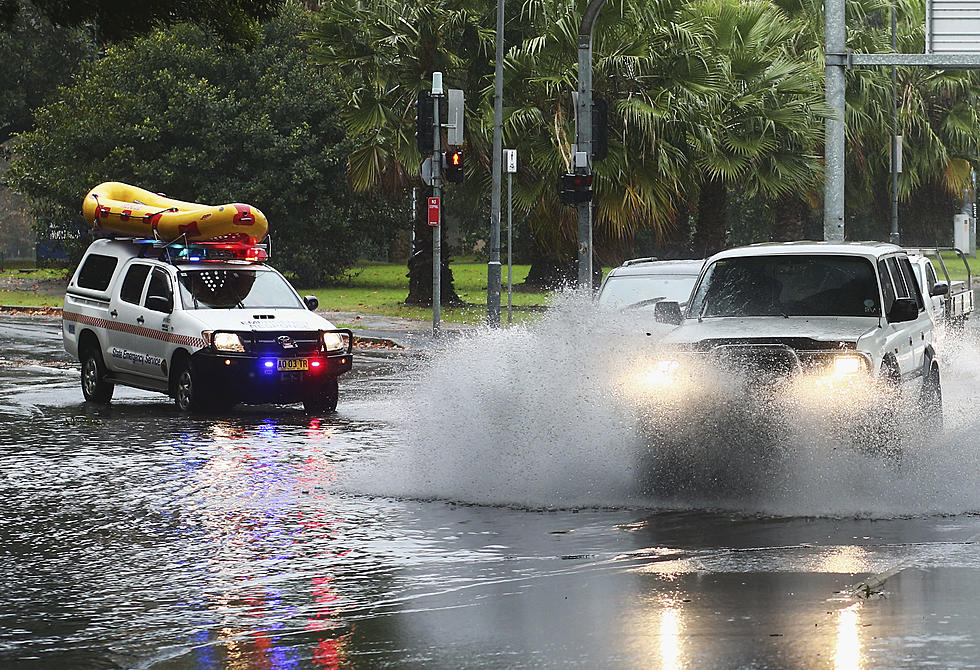
Flash Flood Watches Posted as Tropical Weather Moves Through Southeast Louisiana
Soon-to-be Tropical Storm Claudette is expected to make landfall near Terrebonne and Lafourche Parishes during the overnight and cross over the New Orleans area Saturday morning. National Weather Service meteorologist Ben Schott says rain bands are already impacting southeast Louisiana.
“That’s the number one threat with this system is going to be the rainfall, so we are going to continue to watch it and the possibility for flooding across the area,” said Schott.
Schott says areas east of I-55 could see over a half-foot of rain.
“In that area, six to ten inches of rain will be possible, that could include the city of New Orleans, Slidell, southeastern portions of St. Tammany Parish there,” said Schott.
The forecast track of the potential tropical storm has been shifting east since the first one was posted by the National Hurricane Center on Thursday afternoon. Which has put Louisiana in better shape to handle this storm, but GOHSEP spokesperson Mike Steele says residents still need to be prepared.
“There could be problems with flash flooding and other issues, so we are hoping for the best, but we also have to be prepared, depending on what the impact is to the state,” said Steele.
As the system moves towards the shore it is projected to take a more easterly track which Steele says is good news for Louisiana.
“Looks like most of the rain is going to be a lot more of a problem on the east side of the storm, so the further east it pushes, I guess that pushes Louisiana out of that problem area,” said Steele.
Read More: DEATH ROW INMATES FROM NORTHWEST LOUISIANA
More From News Radio 710 KEEL


