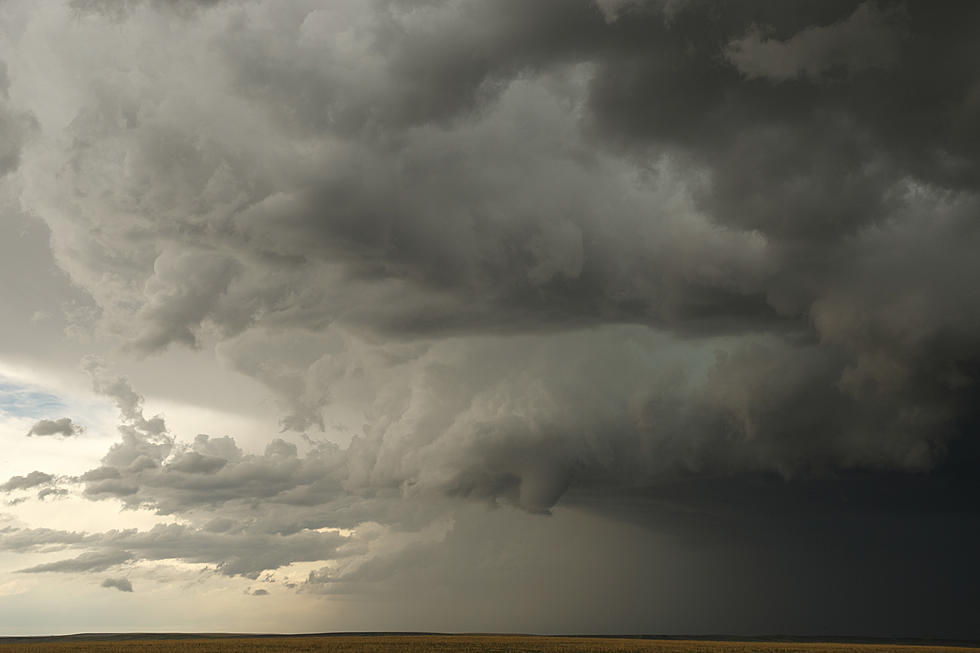
Flash Flood Watch in Effect for Parts of Louisiana, Texas and Arkansas, October 15
A flash flood watch is in effect for much of east and northeast Texas, southwest Arkansas, and parts of northwest and north central Louisiana from 1 pm today, Oct. 15 through 1 pm Wednesday, Oct. 16.
A deep and rich supply of Gulf of Mexico and pacific moisture will combine with a cold front moving across the four state regions today through Wednesday producing locally heavy rainfall with widespread 1 to 3 inches with amounts to 4 and 5 inches across the flash flood area.
The national weather service in Shreveport has issued a flash flood watch for portions of Arkansas, northwest Louisiana and northeast Texas including the following areas in:
Arkansas
- Columbia
- Hempstead
- Howard
- Lafayette
- Little river
- Miller
- Nevada
- Union
In northwest Louisiana
- Bossier
- Caddo
- Claiborne
- Webster
In northeast Texas
- Bowie
- Camp
- Cass
- Cherokee
- Franklin
- Gregg
- Harrison
- Marion
- Morris
- Panola
- Rusk
- Smith
- Titus
- Wood
From 1 pm CDT this afternoon through Wednesday afternoon.
Widespread rainfall of 1 to 3 is expected with localized higher amounts to 4 and 5 inches.
In heavy downpours flash flooding of lower lying and poor drainage areas and at low water crossings is possible. Some roads will be affected near adjacent streams and creeks that overflow the banks.
Precautionary/preparedness actions:
A flash flood watch means that conditions may develop that lead to flash flooding. Flash flooding is a very dangerous situation.
You should monitor later forecasts and be prepared to take action should flash flood warnings be issued. Avoid crossing areas where water covers the roads or bridges. Road washouts may occur.
More From News Radio 710 KEEL


