A Tropical System Could Cause Heavy Rain and Flooding in Louisiana
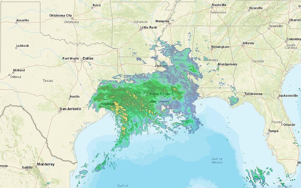
Forecasters say there is a high chance a disturbance in the southern Gulf of Mexico will develop into at least a tropical storm over the next five days. National Weather Service meteorologist Ben Schott says the broad area of low pressure will eventually move northward and flash flooding is possible in south Louisiana on Friday.
“Wherever it lands, just to the east of the center is going to be heavy, heavy rainfall.”
The National Hurricane Center says they will have a better idea once the system actually develops. If named, it will be called Claudette. Schott says even if doesn’t get to tropical storm strength, it could be a big rainmaker…
“Everyone tends to focus on what category it is and the wind and we try to say all the time that each one of these storms is a different animal and they all have different personalities, this one’s personality is going to be heavy, heavy rain.”
Schott says prepare now for a big rainmaker on Friday and Saturday…
“All the models have been amazingly consistent that somewhere between Lake Charles and Mobile, Alabama is going to get drenched this weekend in a way that has the possibility for flooding.”
Some of the models are showing rainfall totals of ten plus inches in less than 12 hours.
Places We Need Most in Shreveport/Bossier City
More From News Radio 710 KEEL


