Tropical Storm Beta – Monday Morning Update

(Updated 0400 CDT 09/21/2020)
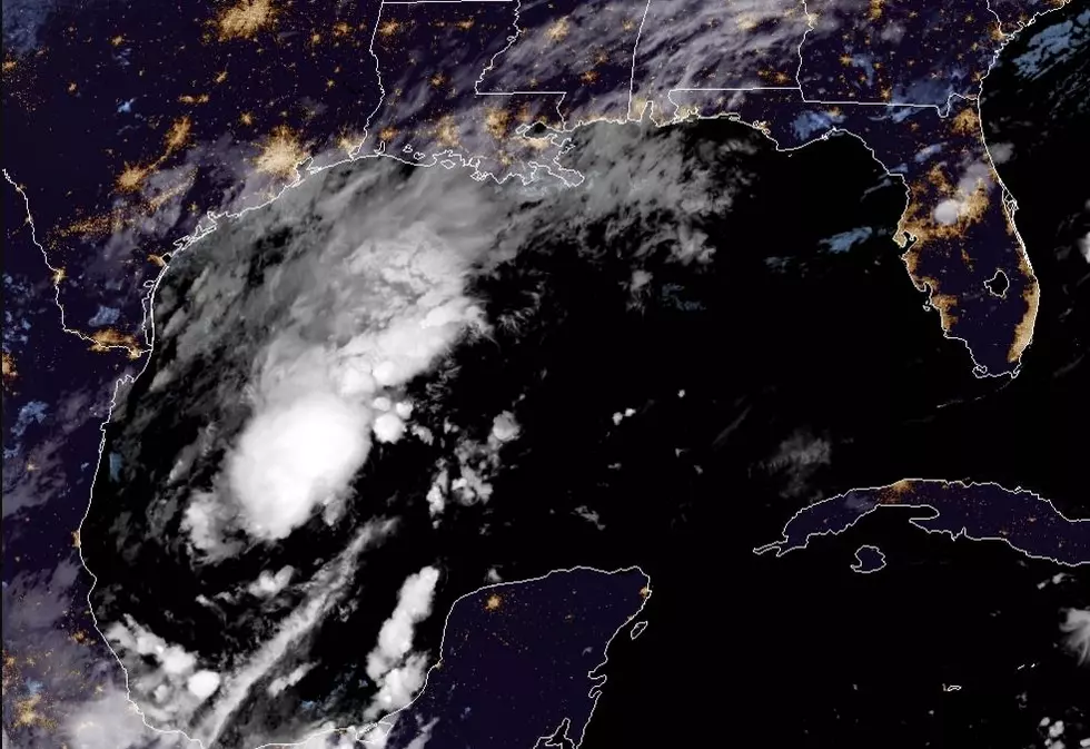
As of the 0400 CDT advisory for Tropical Storm Beta, the National Hurricane Center showed the center of circulation of the storm to be about 95 miles east southeast of Port O'Connor Texas, or about 110 miles south of Galveston. The storm was producing sustained winds of 60 mph and was moving to the west at 6 mph.
This general westward motion is expected to carry the center of circulation across the middle Texas coast sometime late this afternoon or early this evening. However, much of the storm weather associated with Tropical Storm Beta extends far to the north and east of the center of circulation.
Because of that, a tropical storm warning remains in effect from Morgan City Louisiana in St. Mary Parish westward to Port Aransas Texas. A Storm Surge Warning remains in effect from Port Aransas eastward to the Rockefeller Wildlife Refuge in Louisiana.
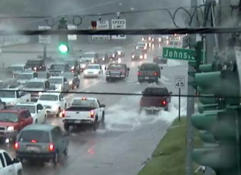
Rainfall, which will be very heavy at times, is the main impact most of us will feel from Tropical Storm Beta in South Louisiana. Forecasters have predicted a 70% chance of rain and thundershowers today.
That activity will decrease in the overnight hours but rain chances will again remain high for Tuesday and Wednesday. We might start to experience a break in the rainfall late in the day on Thursday as what should be the remnants of Tropical Storm Beta exit the area.
Flash Flood Watches have been posted for much of the area through Wednesday. Forecasters say rainfall accumulations of four to six inches along the coast will not be out of the question through Thursday. Inland, showers and thunderstorms could produce an additional two to four inches of rain.
(Previous Story)Forecasters with the National Hurricane Center have placed much of the Texas and Louisiana coastline on alert this weekend. The reason is the approach of strengthening Tropical Storm Beta. Beta's latest forecast track, as you can see above, is expected to impact a large stretch of the coast beginning as early as tomorrow.
However, we won't have to wait for the center of Beta to get too close to Acadiana before we start feeling the effects of the system. As in most cases with tropical systems, the largest areas of rain and high winds are found in the northeast quadrant of the counterclockwise circulation of the storm.
Based on Beta's track we, in South Louisiana, could be in that "nasty" side of the storm for several days. That will likely lead to some significant rainfall accumulations.

 The National Weather Service is suggesting that almost all of Louisiana will receive from five to seven inches of rainfall over the next seven days. Some of that rainfall could come in large amounts all at once so flash flooding and flooding, in general, will become problematic by midweek and next weekend.
The tropical forecast models are in fairly close agreement that Beta will make a turn toward the Texas coast over the next day or so. Whether the system will make landfall or stay just offshore is where the discrepancy in the model forecast occurs.
As of now, forecasters do believe the system will reach hurricane status later today. It could impact the Texas coast as a category 1 storm. The interaction with the Texas coast will determine just what kind of system we will see in South Louisiana as it migrates northward parallel to the coast.
The forecasters at the Hurricane Center are not expressing a lot of confidence in the forecast track. That's why you should just consider the entire "cone of uncertainty" as a general guideline for storm impacts in your area. There are still a lot of variables with Tropical Storm Beta. The information you're reading now will likely have changed a lot by tomorrow.
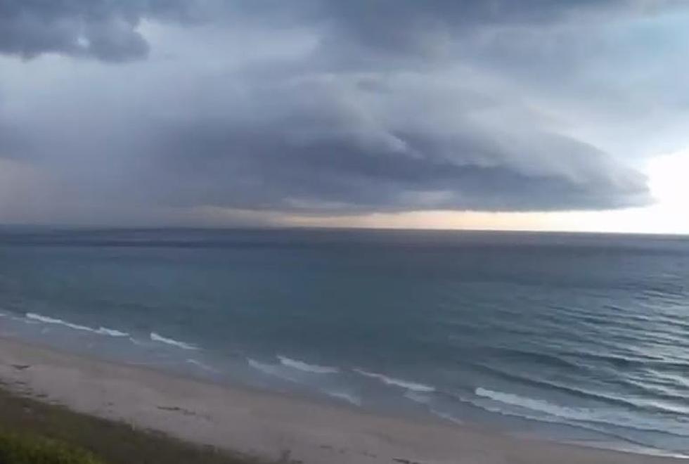
What do we expect? Rain, a lot of it. Coastal flooding as the winds from Beta will be blowing water on to the coast. We are also expecting some gusty winds for several days.
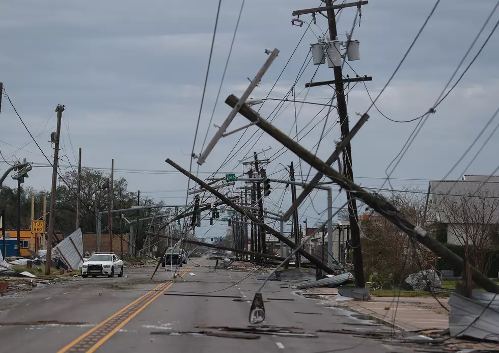
That could loosen limbs and structural items that were damaged in the winds of Hurricane Laura. Just be mindful of where your usual trouble spots are and don't forget to look up, toward those tree limbs, when you're making your outside storm preparations.
Country Songs That Mention Lafayette
More From News Radio 710 KEEL


![Hurricane Delta – The Latest Information [0400 am CDT Update]](http://townsquare.media/site/33/files/2020/08/Hurricane-Flags-Outer-Beaches-Realty-via-YouTube.jpg?w=980&q=75)