Gulf System Could Become Tropical Storm Hanna by Tomorrow
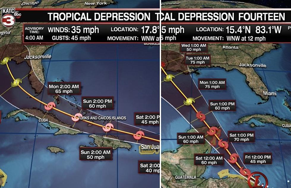
Those who have experienced tropical weather along Louisiana's Gulf Coast for more than a few years aren't really paying a lot of attention to Tropical Depression Eight. As of now, the National Hurricane Center is monitoring the system for further development and that transition from Tropical Depression to Tropical Storm Hanna could come as early as today.
The 4 am Advisory on the system didn't show a lot of strengthening in the overnight hours. Although conditions are favorable for the system to get stronger it's so unorganized it will take some time for that to happen.
The track forecast of TD8 still suggests a landfall in about 60 hours along the middle or lower Texas coast. Tropical Storm Watches have been posted from Port Mansfield to High Island in Texas.
For much of south Louisiana the close proximity of the system, about 350 miles south southeast of Lafayette, will likely spark an increased rain threat between now and Sunday.
Some of the rainfall prediction models suggest that much of Acadiana could receive an inch or two of rainfall as a result of this system. Forecasters do not think that TD8 or Tropical Storm Hanna should it strengthen to tropical storm status will be much of a weather maker for our part of the world.
However, later next week, depending on what Tropical Storm Gonzalo happens to do, we could be looking at a more significant tropical threat. So, don't let your guard down when TD8 or Hanna slips off your newsfeed.
And maybe if find ourselves in the midst of a wet weekend forecast, we can fire up the blender and crush the ice and just sit back and enjoy it all.
Cheers To These Summer Cocktails In Lafayette
More From News Radio 710 KEEL


