Storm Damage In Caddo-Bossier Mainly Caused By Strong Winds
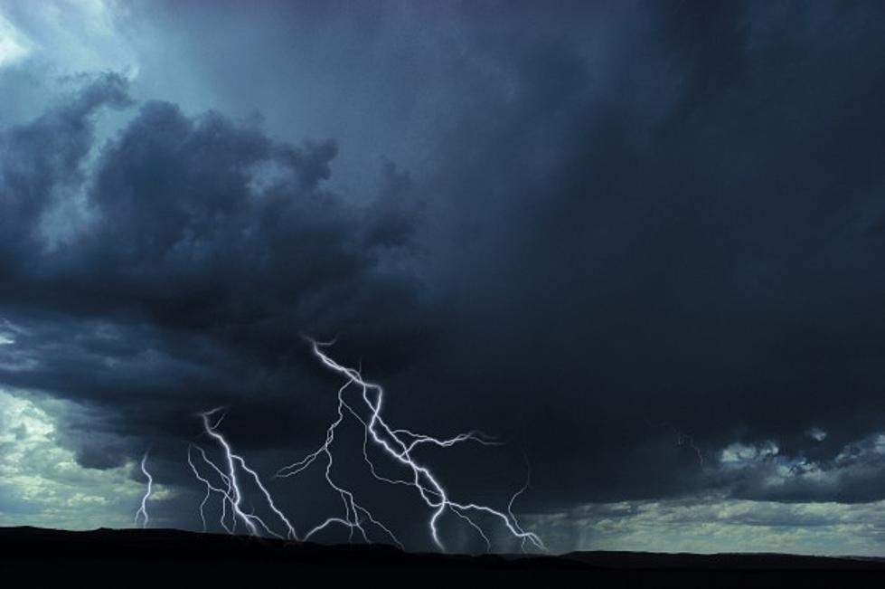
Our area saw an unusual line of storms last night. Mark Murphy with the National Weather Service Office here in Shreveport tells KEEL News that just when it looked like things were going to die off, storms started firing off all over the place.
"Once those storms developed, and they do last for an hour or two, they dissipate and the cold air spreads out from the thunderstorm. And as it moves out, in just about a circle, it hits other weak storms developing -- or pockets of hot air -- and that hot air will just ride over the top of that colder air and new thunderstorms develop."
He says these storms moved from northeast to southwest, which is not normal. "That added to the storms becoming severe," Murphy says. "They produced a lot of wind damage just about everywhere."
Murphy also says he heard some transformers blew out during the storms. That started close to Barksdale Air Force Base and spread to the southern parts of Shreveport.
Murphy says where it did rain, people got maybe one to two inches. Others got trace amounts to nothing. But the winds were very strong. "They were greater than 60 miles-per-hour," he says. "There were probably some close to 80 miles-an-hour." That caused trees and limbs to fall onto power lines, leaving thousands of SWEPCO customers in the dark, some during just the overnight hours and others into the mid-day. Some Caddo and Bossier Parish residents could still be without power during the hottest part of the afternoon.
Many residents were worried about tornadoes, because it looked like there was a thick cloud swirling around in the air. But Murphy tells us he hasn't of any tornado activity. "A lot of times, people will see the downburst winds and they may think it's actually a tornado," he says. "The downflow of the cold air coming out of the storms, it hits the ground and rolls out. And a lot of times, that looks like maybe a tornado."
Parts of east Texas did see some hail, but we didn't get much, if any, here in northwest Louisiana.
More From News Radio 710 KEEL