Red River Predicted to Crest Again by July 1
The National Weather Service is predicting another round of flooding some time around July 1, and Bossier Parish officials are making plans now to prepare for a once-again-rising Red River.
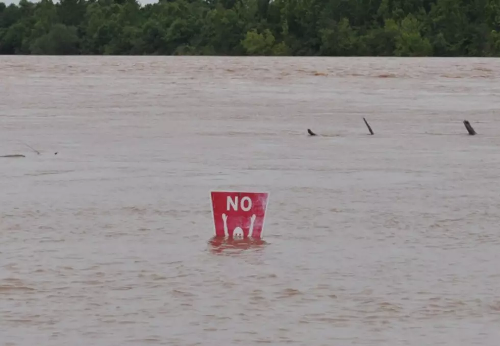
Hydrologist C.S. Ross says heavy rain dumped in the Red River Basin by Tropical Storm Bill could cause the river to crest at 34 feet in Shreveport-Bossier by the beginning of July.
Because of that prediction, Bossier Parish Administrator Bill Altimus says the highway department's Mayfield Street headquarters and barn will be open seven days a week, from 7AM-3:30PM, until further notice.
"After hearing the weather service forecast, we're opening the highway department location on Saturday and Sunday for individuals who may need more sandbags or assistance," Altimus said in a Bossier Sheriff's Office news release. "We would urge those people whose homes received water during this last flood event to be sure they have plenty of sandbags onhand."
Sandbags will also remain available at Elm Grove Elementary School on U.S. Hwy 71, and at the Tooke Memorial Library in Koran. Both locations are self-service.
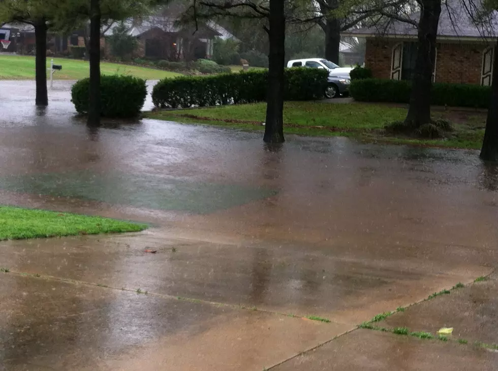
Sheriff's officials say despite another expected rise in the river, residents in south Bossier may not see water covering roadways and pastures to the degree of last week's flooding. Ross has said the NWS did not expect a back-up effect on local streams and bayous.
Lake Bistineau continues a slow fall and Bodcau continues to recede, but Red Chute Bayou rose slightly for a little while due to heavy rainfall in the area.
Bossier Sheriff Julian Whittington will hold a briefing TODAY at 3PM in front of the Arthur Ray Teague Substation, along with Bossier Mayor Lo Walker and Bossier officials from the Bossier Parish Police Jury and Bossier OHSEP, to discuss the NWS-anticipated rise of the Red River over the next two weeks and impact on our residents and businesses as we are facing Round Two of the Red River flooding.
More From News Radio 710 KEEL

![SPAR Boss On Dog Park Flood, Cleanup [VIDEO]](http://townsquare.media/site/180/files/2018/02/Screenshot_125.png?w=980&q=75)
![Expert: Lock and Dam 5 Not To Blame For Flooding [VIDEO]](http://townsquare.media/site/180/files/2018/02/Screenshot_124.png?w=980&q=75)